Projects
Coastal Tech is here to maximize the longevity of our coastline through enhanced coastal resources and property, approaching each project with passion and ingenuity in order to achieve the most environmentally responsible results and practical solutions. Check out some of our previous work.
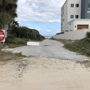
Beach Access Improvements at 16th Avenue – New Smyrna Beach
New Smyrna Beach, FL
See Project Information